Bridleway and entrance to Lullings Farm
Introduction
The photograph on this page of Bridleway and entrance to Lullings Farm by Dave Spicer as part of the Geograph project.
The Geograph project started in 2005 with the aim of publishing, organising and preserving representative images for every square kilometre of Great Britain, Ireland and the Isle of Man.

There are currently over 7.5m images from over 14,400 individuals and you can help contribute to the project by visiting https://www.geograph.org.uk
Bridleway and entrance to Lullings Farm
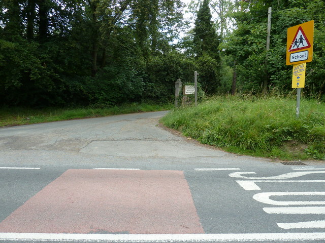
Image: © Dave Spicer Taken: 10 Jul 2011
Lullings Farm is possibly part of the Bordehill Estate as the track was used for horse boxes to the Borde Hill Horse Trials.
Images are licensed for reuse under creativecommons.org/licenses/by-sa/2.0
Image Location
Latitude
51.015556
Longitude
-0.131978