Stevens Park
Introduction
The photograph on this page of Stevens Park by Mark Nightingale as part of the Geograph project.
The Geograph project started in 2005 with the aim of publishing, organising and preserving representative images for every square kilometre of Great Britain, Ireland and the Isle of Man.

There are currently over 7.5m images from over 14,400 individuals and you can help contribute to the project by visiting https://www.geograph.org.uk
Stevens Park
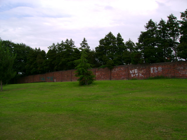
Image: © Mark Nightingale Taken: 27 Jun 2011
The highest ground in Stevens Park, formerly home to swing sets. A new playground has been constructed elsewhere in the park.
Images are licensed for reuse under creativecommons.org/licenses/by-sa/2.0
Image Location
Latitude
52.449489
Longitude
-2.11855