Ainsley Road: roundabout redevelopment
Introduction
The photograph on this page of Ainsley Road: roundabout redevelopment by John Sutton as part of the Geograph project.
The Geograph project started in 2005 with the aim of publishing, organising and preserving representative images for every square kilometre of Great Britain, Ireland and the Isle of Man.

There are currently over 7.5m images from over 14,400 individuals and you can help contribute to the project by visiting https://www.geograph.org.uk
Ainsley Road: roundabout redevelopment
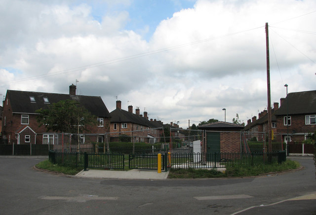
Image: © John Sutton Taken: 12 Jul 2011
There have been changes since I was last here in August 2010 (Image]), but quite what they are in aid of is not clear, so I shall have to return.
Images are licensed for reuse under creativecommons.org/licenses/by-sa/2.0
Image Location
Latitude
52.96052
Longitude
-1.18594