Beaufort Park, Colindale
Introduction
The photograph on this page of Beaufort Park, Colindale by Malc McDonald as part of the Geograph project.
The Geograph project started in 2005 with the aim of publishing, organising and preserving representative images for every square kilometre of Great Britain, Ireland and the Isle of Man.

There are currently over 7.5m images from over 14,400 individuals and you can help contribute to the project by visiting https://www.geograph.org.uk
Beaufort Park, Colindale
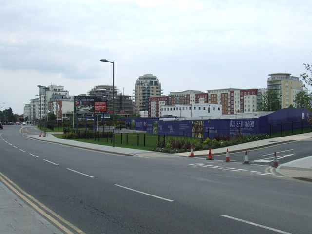
Image: © Malc McDonald Taken: 3 Jul 2011
Beaufort Park is a development of several thousand new homes in Colindale, North West London. It is built on the site of an R.A.F. Aerodrome. The road in the foreground is named Aerodrome Road.
Images are licensed for reuse under creativecommons.org/licenses/by-sa/2.0
Image Location


Leaflet Map data © OpenStreetMap
Latitude
51.594296
Longitude
-0.240145