Mini-roundabout at Hawthorn
Introduction
The photograph on this page of Mini-roundabout at Hawthorn by Stuart Logan as part of the Geograph project.
The Geograph project started in 2005 with the aim of publishing, organising and preserving representative images for every square kilometre of Great Britain, Ireland and the Isle of Man.

There are currently over 7.5m images from over 14,400 individuals and you can help contribute to the project by visiting https://www.geograph.org.uk
Mini-roundabout at Hawthorn
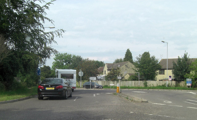
Image: © Stuart Logan Taken: 13 Jul 2011
There are five roads converging at this point: the B3109; Boxfields Road; Westwells Road and Leafy Lane.
Images are licensed for reuse under creativecommons.org/licenses/by-sa/2.0
Image Location
Latitude
51.423483
Longitude
-2.225031