Conservation walk, West Pitt
Introduction
The photograph on this page of Conservation walk, West Pitt by Derek Harper as part of the Geograph project.
The Geograph project started in 2005 with the aim of publishing, organising and preserving representative images for every square kilometre of Great Britain, Ireland and the Isle of Man.

There are currently over 7.5m images from over 14,400 individuals and you can help contribute to the project by visiting https://www.geograph.org.uk
Conservation walk, West Pitt
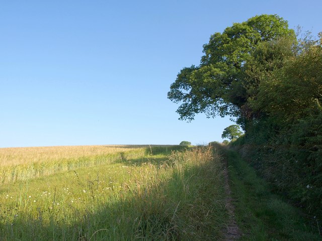
Image: © Derek Harper Taken: 14 Jul 2011
A permissive path climbs the track beside this hedge and past a field of barley and some oak trees. A map of the walk, open until September 2013, is at http://cwr.defra.gov.uk/Default.aspx?Module=CountryWalkDetails&Site=4265 .
Images are licensed for reuse under creativecommons.org/licenses/by-sa/2.0
Image Location


Leaflet Map data © OpenStreetMap
Latitude
50.935291
Longitude
-3.379243