The River Leen seen from Woodstock Avenue
Introduction
The photograph on this page of The River Leen seen from Woodstock Avenue by John Sutton as part of the Geograph project.
The Geograph project started in 2005 with the aim of publishing, organising and preserving representative images for every square kilometre of Great Britain, Ireland and the Isle of Man.

There are currently over 7.5m images from over 14,400 individuals and you can help contribute to the project by visiting https://www.geograph.org.uk
The River Leen seen from Woodstock Avenue
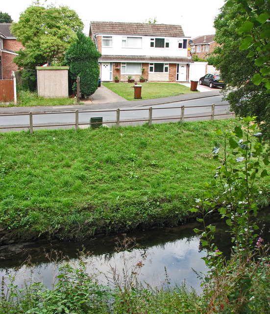
Image: © John Sutton Taken: 12 Jul 2011
The houses on Maun Avenue, on the other side of the river, were built on the site of Radford Colliery, which closed in the 1960s. The concrete-post-and-iron-rail fence, which appears in old photographs, is all that remains of the pit.
Images are licensed for reuse under creativecommons.org/licenses/by-sa/2.0
Image Location
Latitude
52.962655
Longitude
-1.182625