Access Track to Wood Vale Farm
Introduction
The photograph on this page of Access Track to Wood Vale Farm by Chris Heaton as part of the Geograph project.
The Geograph project started in 2005 with the aim of publishing, organising and preserving representative images for every square kilometre of Great Britain, Ireland and the Isle of Man.

There are currently over 7.5m images from over 14,400 individuals and you can help contribute to the project by visiting https://www.geograph.org.uk
Access Track to Wood Vale Farm
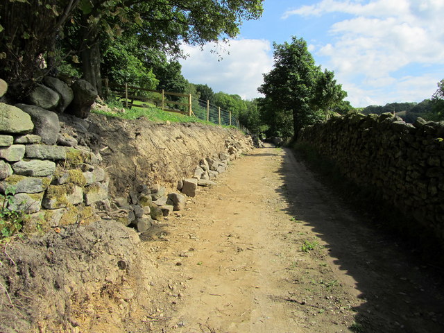
Image: © Chris Heaton Taken: 13 Jul 2011
Track undergoing a certain amount of renovation as it leaves Ellers Road on its descent down to Sutton in Craven
Images are licensed for reuse under creativecommons.org/licenses/by-sa/2.0
Image Location


Leaflet Map data © OpenStreetMap
Latitude
53.886066
Longitude
-1.988705