Landshare allotments near Shottermill ponds
Introduction
The photograph on this page of Landshare allotments near Shottermill ponds by Shazz as part of the Geograph project.
The Geograph project started in 2005 with the aim of publishing, organising and preserving representative images for every square kilometre of Great Britain, Ireland and the Isle of Man.

There are currently over 7.5m images from over 14,400 individuals and you can help contribute to the project by visiting https://www.geograph.org.uk
Landshare allotments near Shottermill ponds
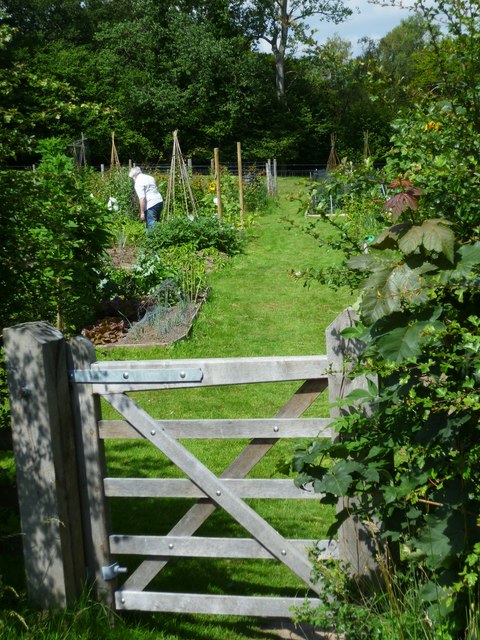
Image: © Shazz Taken: 14 Jul 2011
The land is owned by the National Trust and the allotments were put in place in 2010.
Images are licensed for reuse under creativecommons.org/licenses/by-sa/2.0
Image Location
Latitude
51.083967
Longitude
-0.742021