Footpath between Police Station and playing field, off Stainbeck Lane
Introduction
The photograph on this page of Footpath between Police Station and playing field, off Stainbeck Lane by Rich Tea as part of the Geograph project.
The Geograph project started in 2005 with the aim of publishing, organising and preserving representative images for every square kilometre of Great Britain, Ireland and the Isle of Man.

There are currently over 7.5m images from over 14,400 individuals and you can help contribute to the project by visiting https://www.geograph.org.uk
Footpath between Police Station and playing field, off Stainbeck Lane
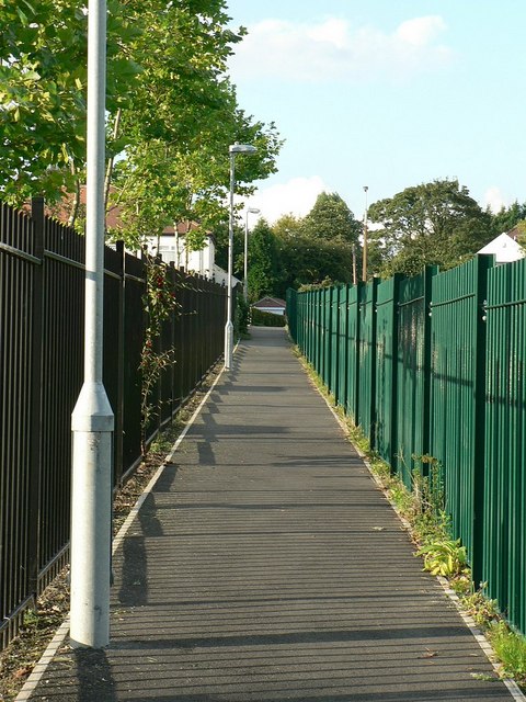
Image: © Rich Tea Taken: 23 Sep 2006
This path joins Stainbeck Lane and Henconner Grove.
Images are licensed for reuse under creativecommons.org/licenses/by-sa/2.0
Image Location
Latitude
53.827862
Longitude
-1.544792