National Cycle Network route 1 at North Seaton
Introduction
The photograph on this page of National Cycle Network route 1 at North Seaton by Oliver Dixon as part of the Geograph project.
The Geograph project started in 2005 with the aim of publishing, organising and preserving representative images for every square kilometre of Great Britain, Ireland and the Isle of Man.

There are currently over 7.5m images from over 14,400 individuals and you can help contribute to the project by visiting https://www.geograph.org.uk
National Cycle Network route 1 at North Seaton
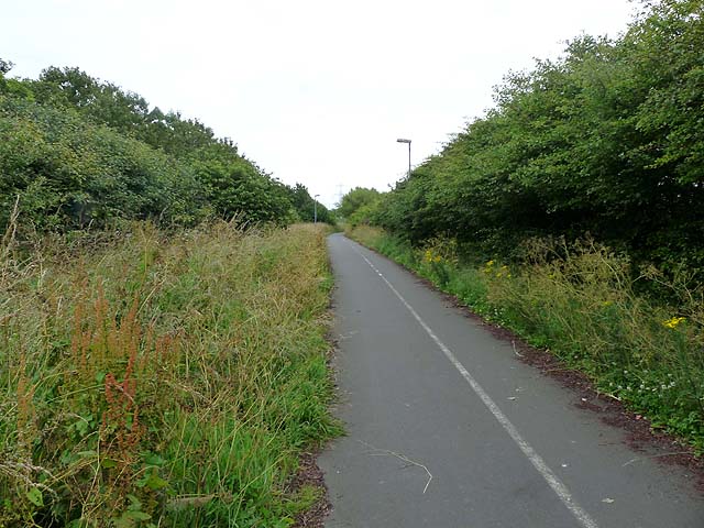
Image: © Oliver Dixon Taken: 13 Jul 2011
National Cycle Network route 1 runs from John O'Groats to Dover. Here it runs alongside the A189 (to the left), but shielded from it by a high hedgerow.
Images are licensed for reuse under creativecommons.org/licenses/by-sa/2.0
Image Location
Latitude
55.17946
Longitude
-1.53298