Kilmacolm Road
Introduction
The photograph on this page of Kilmacolm Road by Lairich Rig as part of the Geograph project.
The Geograph project started in 2005 with the aim of publishing, organising and preserving representative images for every square kilometre of Great Britain, Ireland and the Isle of Man.

There are currently over 7.5m images from over 14,400 individuals and you can help contribute to the project by visiting https://www.geograph.org.uk
Kilmacolm Road
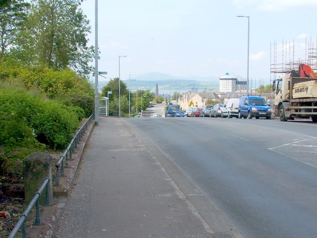
Image: © Lairich Rig Taken: 4 Jul 2011
The photograph was taken to provide context for an Image which can be seen in the foreground, on the left. The scaffolding on the right is associated with demolition work taking place here as part of a £22 million housing development. Image can be seen in the distance; it is more clearly visible in Image, which was taken further down the hill. For a view similar to the present picture, but taken a few years later, long after the redevelopment work was complete, see Image; the boundary stone can also be seen in that picture, although it is in shadow.
Images are licensed for reuse under creativecommons.org/licenses/by-sa/2.0
Image Location
Latitude
55.935239
Longitude
-4.741989