View northwest from Parsonage Farm
Introduction
The photograph on this page of View northwest from Parsonage Farm by Penny Mayes as part of the Geograph project.
The Geograph project started in 2005 with the aim of publishing, organising and preserving representative images for every square kilometre of Great Britain, Ireland and the Isle of Man.

There are currently over 7.5m images from over 14,400 individuals and you can help contribute to the project by visiting https://www.geograph.org.uk
View northwest from Parsonage Farm
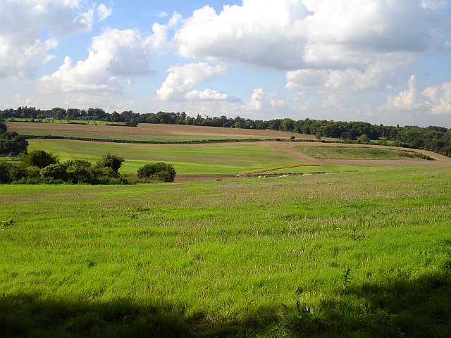
Image: © Penny Mayes Taken: 26 Sep 2006
The straight hedge line marks the course of a footpath which runs up to the golf club in the north of the square http://www.geograph.org.uk/photo/239786 Belmont House http://www.geograph.org.uk/photo/239775 lies beyond the trees on the horizon to the left.
Images are licensed for reuse under creativecommons.org/licenses/by-sa/2.0
Image Location
Latitude
51.269194
Longitude
0.855612