Top of Quarlton Farmhouse
Introduction
The photograph on this page of Top of Quarlton Farmhouse by philandju as part of the Geograph project.
The Geograph project started in 2005 with the aim of publishing, organising and preserving representative images for every square kilometre of Great Britain, Ireland and the Isle of Man.

There are currently over 7.5m images from over 14,400 individuals and you can help contribute to the project by visiting https://www.geograph.org.uk
Top of Quarlton Farmhouse
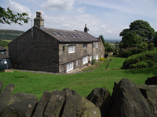
Image: © philandju Taken: 14 Jul 2011
Of the Jacobean age, the house has round headed stone windows as well as the more common straight headed mullions. A tractor in the yard (at the rear of the house) suggests that it is still a working farm. The public right of way goes right through the farmyard.
Images are licensed for reuse under creativecommons.org/licenses/by-sa/2.0
Image Location


Leaflet Map data © OpenStreetMap
Latitude
53.63723
Longitude
-2.374887