Whitefield
Introduction
The photograph on this page of Whitefield by Oliver Dixon as part of the Geograph project.
The Geograph project started in 2005 with the aim of publishing, organising and preserving representative images for every square kilometre of Great Britain, Ireland and the Isle of Man.

There are currently over 7.5m images from over 14,400 individuals and you can help contribute to the project by visiting https://www.geograph.org.uk
Whitefield
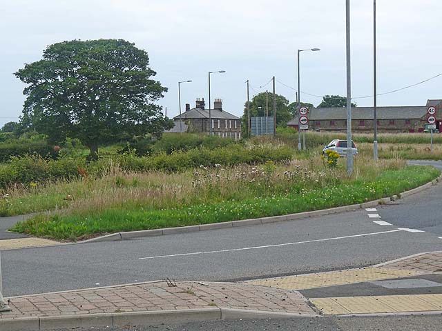
Image: © Oliver Dixon Taken: 13 Jul 2011
Off the roundabout on the A197 at the eastern end of the Pegswood By-pass, along the road to Bothal.
Images are licensed for reuse under creativecommons.org/licenses/by-sa/2.0
Image Location
Latitude
55.176229
Longitude
-1.640257