Houses on Topsham Road, Countess Wear
Introduction
The photograph on this page of Houses on Topsham Road, Countess Wear by Derek Harper as part of the Geograph project.
The Geograph project started in 2005 with the aim of publishing, organising and preserving representative images for every square kilometre of Great Britain, Ireland and the Isle of Man.

There are currently over 7.5m images from over 14,400 individuals and you can help contribute to the project by visiting https://www.geograph.org.uk
Houses on Topsham Road, Countess Wear
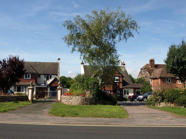
Image: © Derek Harper Taken: 11 Jul 2011
Detached houses forming ribbon development along the A3015 just west of the Countess Wear roundabout.
Images are licensed for reuse under creativecommons.org/licenses/by-sa/2.0
Image Location
Latitude
50.701122
Longitude
-3.495135