Ryepeck Meadow moorings
Introduction
The photograph on this page of Ryepeck Meadow moorings by Rod Allday as part of the Geograph project.
The Geograph project started in 2005 with the aim of publishing, organising and preserving representative images for every square kilometre of Great Britain, Ireland and the Isle of Man.

There are currently over 7.5m images from over 14,400 individuals and you can help contribute to the project by visiting https://www.geograph.org.uk
Ryepeck Meadow moorings
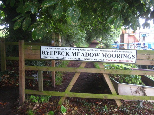
Image: © Rod Allday Taken: 22 Jun 2011
A number of houseboats are moored along this stretch of river, each with its adjacent garden plot.
Images are licensed for reuse under creativecommons.org/licenses/by-sa/2.0
Image Location
Latitude
51.390057
Longitude
-0.47609