Pipers Fort seen from the bridge over the Blackstaff River
Introduction
The photograph on this page of Pipers Fort seen from the bridge over the Blackstaff River by Eric Jones as part of the Geograph project.
The Geograph project started in 2005 with the aim of publishing, organising and preserving representative images for every square kilometre of Great Britain, Ireland and the Isle of Man.

There are currently over 7.5m images from over 14,400 individuals and you can help contribute to the project by visiting https://www.geograph.org.uk
Pipers Fort seen from the bridge over the Blackstaff River
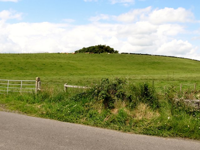
Image: © Eric Jones Taken: 9 Jul 2011
This is an ancient mound situated on the crest of a drumlin.
Images are licensed for reuse under creativecommons.org/licenses/by-sa/2.0
Image Location
Latitude
54.317964
Longitude
-5.797809