Path high above the Eastern Cleddau in July
Introduction
The photograph on this page of Path high above the Eastern Cleddau in July by Jeremy Bolwell as part of the Geograph project.
The Geograph project started in 2005 with the aim of publishing, organising and preserving representative images for every square kilometre of Great Britain, Ireland and the Isle of Man.

There are currently over 7.5m images from over 14,400 individuals and you can help contribute to the project by visiting https://www.geograph.org.uk
Path high above the Eastern Cleddau in July
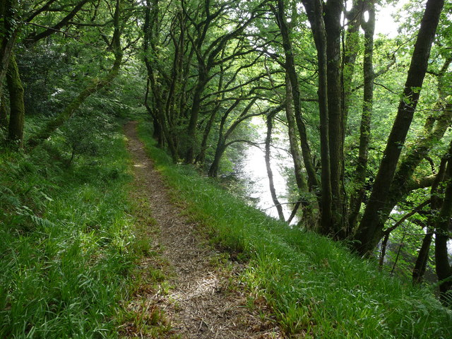
Image: © Jeremy Bolwell Taken: 11 Jul 2011
What a spot - impossible to pass without stopping and gazing down on the river, as people must have done since Mesolithic times on this spot, it is amazing.
Images are licensed for reuse under creativecommons.org/licenses/by-sa/2.0
Image Location
Latitude
51.825222
Longitude
-4.786647