Part of the Knight's Way on Narberth Mountain
Introduction
The photograph on this page of Part of the Knight's Way on Narberth Mountain by Jeremy Bolwell as part of the Geograph project.
The Geograph project started in 2005 with the aim of publishing, organising and preserving representative images for every square kilometre of Great Britain, Ireland and the Isle of Man.

There are currently over 7.5m images from over 14,400 individuals and you can help contribute to the project by visiting https://www.geograph.org.uk
Part of the Knight's Way on Narberth Mountain
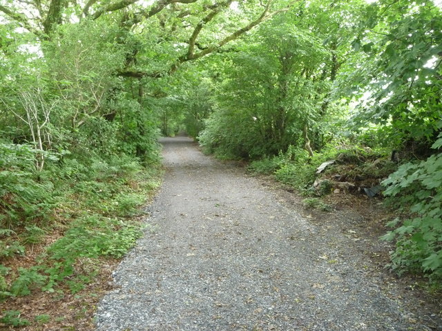
Image: © Jeremy Bolwell Taken: 11 Jul 2011
This track and footpath has been improved recently, seemingly with mainly cyclists in mind, and I assume is becoming part of a cycle way with Narberth as its hub. It's all 'a bit country park-y' for me. Plus I think the rainwater will wreak havoc with that surface.
Images are licensed for reuse under creativecommons.org/licenses/by-sa/2.0
Image Location
Latitude
51.784441
Longitude
-4.7502