Mouth of the River Wandle
Introduction
The photograph on this page of Mouth of the River Wandle by Malc McDonald as part of the Geograph project.
The Geograph project started in 2005 with the aim of publishing, organising and preserving representative images for every square kilometre of Great Britain, Ireland and the Isle of Man.

There are currently over 7.5m images from over 14,400 individuals and you can help contribute to the project by visiting https://www.geograph.org.uk
Mouth of the River Wandle
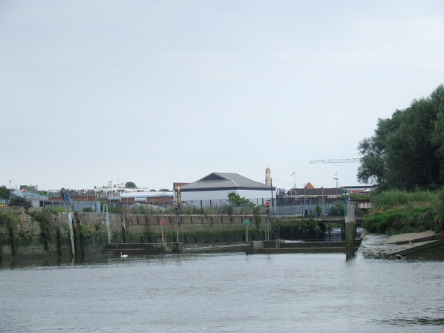
Image: © Malc McDonald Taken: 2 Jul 2011
The River Wandle flows for around 9 miles from a source near Croydon through South London to flow into the River Thames here near Wandsworth.
Images are licensed for reuse under creativecommons.org/licenses/by-sa/2.0
Image Location
Latitude
51.462775
Longitude
-0.195255