The main road through Dumgoyne
Introduction
The photograph on this page of The main road through Dumgoyne by Lairich Rig as part of the Geograph project.
The Geograph project started in 2005 with the aim of publishing, organising and preserving representative images for every square kilometre of Great Britain, Ireland and the Isle of Man.

There are currently over 7.5m images from over 14,400 individuals and you can help contribute to the project by visiting https://www.geograph.org.uk
The main road through Dumgoyne
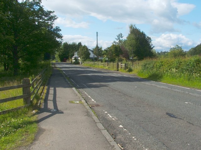
Image: © Lairich Rig Taken: 30 Jun 2011
The photograph was taken from the same place as Image (namely, where the West Highland Way, when followed from the south, meets the road), but is a view in the opposite direction. The fence on the far side of the road shows where the West Highland Way continues to the north.
Images are licensed for reuse under creativecommons.org/licenses/by-sa/2.0
Image Location
Latitude
56.021652
Longitude
-4.372099