Anerley Park, Penge
Introduction
The photograph on this page of Anerley Park, Penge by David Anstiss as part of the Geograph project.
The Geograph project started in 2005 with the aim of publishing, organising and preserving representative images for every square kilometre of Great Britain, Ireland and the Isle of Man.

There are currently over 7.5m images from over 14,400 individuals and you can help contribute to the project by visiting https://www.geograph.org.uk
Anerley Park, Penge
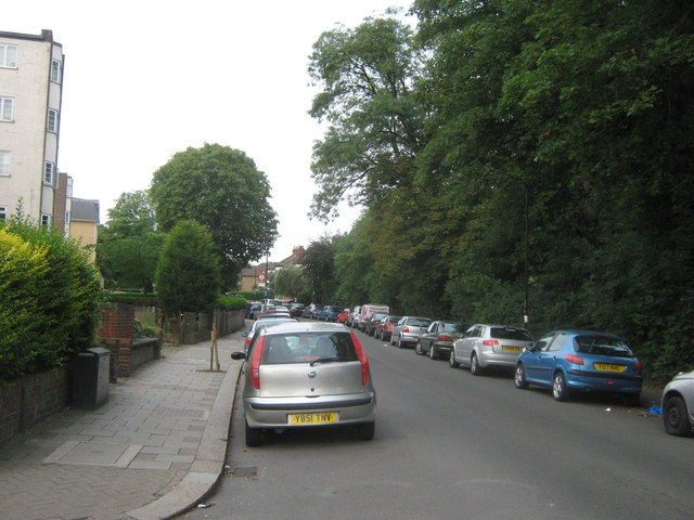
Image: © David Anstiss Taken: 10 Jul 2011
This road leads from Penge High Street to the A214 Anerley Road. The trees on the right hide the railway between Lower Sydenham and Crystal Palace.
Images are licensed for reuse under creativecommons.org/licenses/by-sa/2.0
Image Location
Latitude
51.41748
Longitude
-0.06185