Salt Way Lane
Introduction
The photograph on this page of Salt Way Lane by Michael Dibb as part of the Geograph project.
The Geograph project started in 2005 with the aim of publishing, organising and preserving representative images for every square kilometre of Great Britain, Ireland and the Isle of Man.

There are currently over 7.5m images from over 14,400 individuals and you can help contribute to the project by visiting https://www.geograph.org.uk
Salt Way Lane
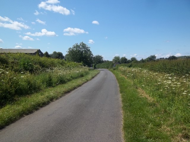
Image: © Michael Dibb Taken: 11 Jun 2011
The road from Winderton nears Lower Brailes. The roof of the Cotswold Marquees building is to the left.
Images are licensed for reuse under creativecommons.org/licenses/by-sa/2.0
Image Location


Leaflet Map data © OpenStreetMap
Latitude
52.051169
Longitude
-1.534472