Diversion on footpath 147
Introduction
The photograph on this page of Diversion on footpath 147 by Robin Webster as part of the Geograph project.
The Geograph project started in 2005 with the aim of publishing, organising and preserving representative images for every square kilometre of Great Britain, Ireland and the Isle of Man.

There are currently over 7.5m images from over 14,400 individuals and you can help contribute to the project by visiting https://www.geograph.org.uk
Diversion on footpath 147
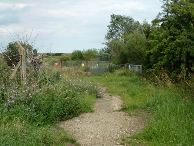
Image: © Robin Webster Taken: 10 Jul 2011
The gates ahead bar any further progress on the original line, the red sign points to the new route to the right. The diversion must have been made a long time ago - the area beyond is of landfill and looks very established. The small yellow sign is a public notice concerning a sought-for extension of the time allowed for "restoration" of the site. How an area of low-lying marsh can be restored from a rather high area of landfill without removing what was dumped is a puzzle.
Images are licensed for reuse under creativecommons.org/licenses/by-sa/2.0
Image Location


Leaflet Map data © OpenStreetMap
Latitude
51.487202
Longitude
0.424808