Gate and cattle grid, Aghalee
Introduction
The photograph on this page of Gate and cattle grid, Aghalee by Albert Bridge as part of the Geograph project.
The Geograph project started in 2005 with the aim of publishing, organising and preserving representative images for every square kilometre of Great Britain, Ireland and the Isle of Man.

There are currently over 7.5m images from over 14,400 individuals and you can help contribute to the project by visiting https://www.geograph.org.uk
Gate and cattle grid, Aghalee
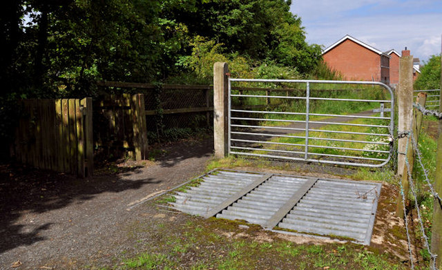
Image: © Albert Bridge Taken: 10 Jul 2011
The Sprucefield – Moira section of the Lagan canal is now buried under the M1 Image The towpath remains from Moira Image via Soldierstown and the Broadwater Image to Aghalee. The gate and cattle grid are near the end, approaching Aghalee. Continue to Image
Images are licensed for reuse under creativecommons.org/licenses/by-sa/2.0
Image Location
Latitude
54.519084
Longitude
-6.262384