Cattle grid and road to Abergavenny
Introduction
The photograph on this page of Cattle grid and road to Abergavenny by David Smith as part of the Geograph project.
The Geograph project started in 2005 with the aim of publishing, organising and preserving representative images for every square kilometre of Great Britain, Ireland and the Isle of Man.

There are currently over 7.5m images from over 14,400 individuals and you can help contribute to the project by visiting https://www.geograph.org.uk
Cattle grid and road to Abergavenny
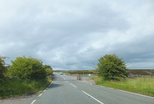
Image: © David Smith Taken: 7 Jul 2011
The road crosses the industrial landscape of the iron industry between Blaenavon and Abergavenny, now deserted moorland.
Images are licensed for reuse under creativecommons.org/licenses/by-sa/2.0
Image Location
Latitude
51.782933
Longitude
-3.084565