Speke Edge Farm
Introduction
The photograph on this page of Speke Edge Farm by Bill Boaden as part of the Geograph project.
The Geograph project started in 2005 with the aim of publishing, organising and preserving representative images for every square kilometre of Great Britain, Ireland and the Isle of Man.

There are currently over 7.5m images from over 14,400 individuals and you can help contribute to the project by visiting https://www.geograph.org.uk
Speke Edge Farm
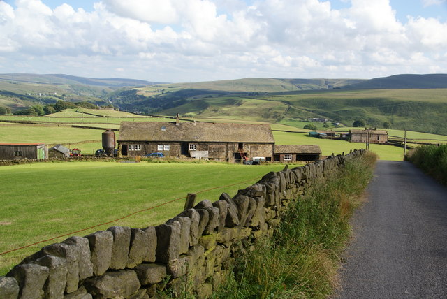
Image: © Bill Boaden Taken: 9 Jul 2011
The road is Stones Lane which goes to the hamlet of Stones and then peters out. The view continues past Calderdale towards the Roch valley and Blackstone Edge.
Images are licensed for reuse under creativecommons.org/licenses/by-sa/2.0
Image Location
Latitude
53.714157
Longitude
-2.119812