A new 27 Plant Lane
Introduction
The photograph on this page of A new 27 Plant Lane by David Lally as part of the Geograph project.
The Geograph project started in 2005 with the aim of publishing, organising and preserving representative images for every square kilometre of Great Britain, Ireland and the Isle of Man.

There are currently over 7.5m images from over 14,400 individuals and you can help contribute to the project by visiting https://www.geograph.org.uk
A new 27 Plant Lane
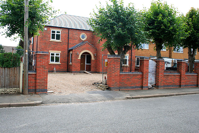
Image: © David Lally Taken: 9 Jul 2011
Original planning permission for the replacement of the previous detached house was for a dormer bungalow see Image In the end this large detached house has appeared. It currently looks finished but unoccupied. Also see Image
Images are licensed for reuse under creativecommons.org/licenses/by-sa/2.0
Image Location
Latitude
52.881145
Longitude
-1.299174