Pasture, Wellesbourne
Introduction
The photograph on this page of Pasture, Wellesbourne by Derek Harper as part of the Geograph project.
The Geograph project started in 2005 with the aim of publishing, organising and preserving representative images for every square kilometre of Great Britain, Ireland and the Isle of Man.

There are currently over 7.5m images from over 14,400 individuals and you can help contribute to the project by visiting https://www.geograph.org.uk
Pasture, Wellesbourne
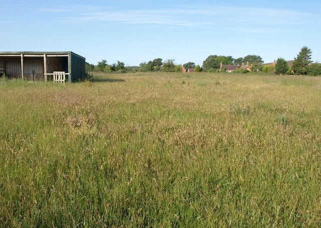
Image: © Derek Harper Taken: 11 Jun 2011
The next grass field to Image passed by the footpath that heads up the River Dene valley, with houses on Lowes Lane and Walton Way in the distance.
Images are licensed for reuse under creativecommons.org/licenses/by-sa/2.0
Image Location
Latitude
52.191907
Longitude
-1.592544