National Cycle Network Route 88 approaches Home Farm Crescent, Caerleon
Introduction
The photograph on this page of National Cycle Network Route 88 approaches Home Farm Crescent, Caerleon by Jaggery as part of the Geograph project.
The Geograph project started in 2005 with the aim of publishing, organising and preserving representative images for every square kilometre of Great Britain, Ireland and the Isle of Man.

There are currently over 7.5m images from over 14,400 individuals and you can help contribute to the project by visiting https://www.geograph.org.uk
National Cycle Network Route 88 approaches Home Farm Crescent, Caerleon
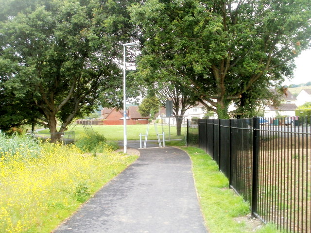
Image: © Jaggery Taken: 5 Jul 2011
This section of the footpath and cycle route, http://www.geograph.org.uk/photo/2494687 from Caerleon Comprehensive School, opened in June 2011.
Images are licensed for reuse under creativecommons.org/licenses/by-sa/2.0
Image Location
Latitude
51.611091
Longitude
-2.973306