Froggatt Bridge
Introduction
The photograph on this page of Froggatt Bridge by Peter Turner as part of the Geograph project.
The Geograph project started in 2005 with the aim of publishing, organising and preserving representative images for every square kilometre of Great Britain, Ireland and the Isle of Man.

There are currently over 7.5m images from over 14,400 individuals and you can help contribute to the project by visiting https://www.geograph.org.uk
Froggatt Bridge
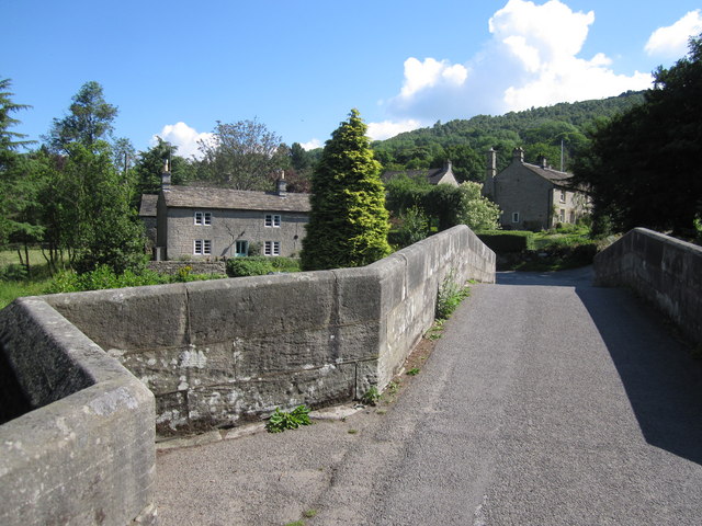
Image: © Peter Turner Taken: 2 Jul 2011
Reputedly 17th century the single lane bridge spans the River Derwent and could have been the eastern access to Eyam village carrying the fateful goods that bore the plague there. The village houses of earlier times, such as Bridge Foot Cottage seen here, were built of the local gritstone for employees of the Duke of Rutland's estate. Nowadays it is smart and pretty commuterland.
Images are licensed for reuse under creativecommons.org/licenses/by-sa/2.0
Image Location
Latitude
53.281139
Longitude
-1.635658