Track junction, Staddiscombe
Introduction
The photograph on this page of Track junction, Staddiscombe by Derek Harper as part of the Geograph project.
The Geograph project started in 2005 with the aim of publishing, organising and preserving representative images for every square kilometre of Great Britain, Ireland and the Isle of Man.

There are currently over 7.5m images from over 14,400 individuals and you can help contribute to the project by visiting https://www.geograph.org.uk
Track junction, Staddiscombe
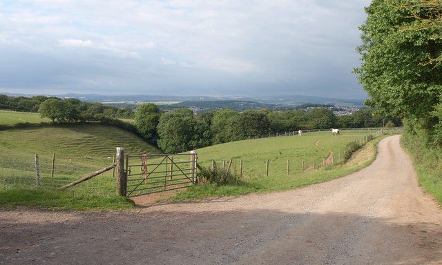
Image: © Derek Harper Taken: 1 Jul 2011
A view on the Erme-Plym Trail, following a footpath between Hooe and Staddiscombe. The track leads to Courtgates. On the left are Image
Images are licensed for reuse under creativecommons.org/licenses/by-sa/2.0
Image Location
Latitude
50.344266
Longitude
-4.094583