Wood at Lower Baybridge Lane
Introduction
The photograph on this page of Wood at Lower Baybridge Lane by Ian Paterson as part of the Geograph project.
The Geograph project started in 2005 with the aim of publishing, organising and preserving representative images for every square kilometre of Great Britain, Ireland and the Isle of Man.

There are currently over 7.5m images from over 14,400 individuals and you can help contribute to the project by visiting https://www.geograph.org.uk
Wood at Lower Baybridge Lane
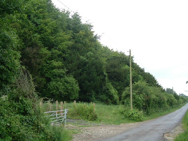
Image: © Ian Paterson Taken: 5 Jul 2011
Northern corner of the wooded area on the south side of Lower Baybridge Lane.
Images are licensed for reuse under creativecommons.org/licenses/by-sa/2.0
Image Location


Leaflet Map data © OpenStreetMap
Latitude
51.001856
Longitude
-1.255312