Former public house, Woolwich
Introduction
The photograph on this page of Former public house, Woolwich by Stacey Harris as part of the Geograph project.
The Geograph project started in 2005 with the aim of publishing, organising and preserving representative images for every square kilometre of Great Britain, Ireland and the Isle of Man.

There are currently over 7.5m images from over 14,400 individuals and you can help contribute to the project by visiting https://www.geograph.org.uk
Former public house, Woolwich
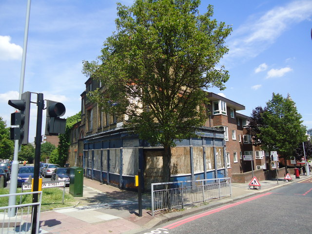
Image: © Stacey Harris Taken: 4 Jul 2011
Formerly known as the "Evening Star". The short length of road to the left of the pub is part of the original John Wilson Street, rebuilt as a dual carriageway just to the west (left of picture) to take traffic to the Woolwich Free Ferry round the town centre rather than through it.
Images are licensed for reuse under creativecommons.org/licenses/by-sa/2.0
Image Location
Latitude
51.489087
Longitude
0.063193