Listed house, Plymstock
Introduction
The photograph on this page of Listed house, Plymstock by Derek Harper as part of the Geograph project.
The Geograph project started in 2005 with the aim of publishing, organising and preserving representative images for every square kilometre of Great Britain, Ireland and the Isle of Man.

There are currently over 7.5m images from over 14,400 individuals and you can help contribute to the project by visiting https://www.geograph.org.uk
Listed house, Plymstock
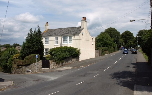
Image: © Derek Harper Taken: 1 Jul 2011
Benhay, at the junction of Furzehatt Road with Holland Road (left), is an early C19 detached house http://www.britishlistedbuildings.co.uk/en-473450-benhay-100-plymouth .
Images are licensed for reuse under creativecommons.org/licenses/by-sa/2.0
Image Location
Latitude
50.355482
Longitude
-4.086079