Pateley Bridge from the west
Introduction
The photograph on this page of Pateley Bridge from the west by Derek Harper as part of the Geograph project.
The Geograph project started in 2005 with the aim of publishing, organising and preserving representative images for every square kilometre of Great Britain, Ireland and the Isle of Man.

There are currently over 7.5m images from over 14,400 individuals and you can help contribute to the project by visiting https://www.geograph.org.uk
Pateley Bridge from the west
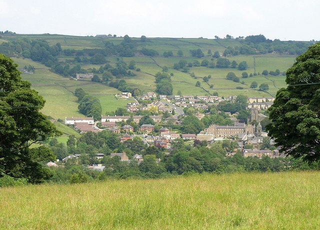
Image: © Derek Harper Taken: 27 Jun 2011
See Image; this is the view mentioned from a little further east along footpath 15 9/12/1. This is the northern side of the town, with fields leading up towards Brownstay Ridge above.
Images are licensed for reuse under creativecommons.org/licenses/by-sa/2.0
Image Location
Latitude
54.087874
Longitude
-1.761481