Heathfield
Introduction
The photograph on this page of Heathfield by Derek Harper as part of the Geograph project.
The Geograph project started in 2005 with the aim of publishing, organising and preserving representative images for every square kilometre of Great Britain, Ireland and the Isle of Man.

There are currently over 7.5m images from over 14,400 individuals and you can help contribute to the project by visiting https://www.geograph.org.uk
Heathfield
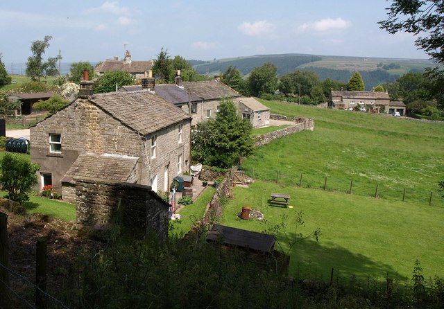
Image: © Derek Harper Taken: 27 Jun 2011
A similar view to Image, but with leaves on the trees. The buildings in the foreground are those shown in Image from just down the road to the right of The Grange (right, http://www.britishlistedbuildings.co.uk/en-331375-heathfield-grange-stonebeck-down ).
Images are licensed for reuse under creativecommons.org/licenses/by-sa/2.0
Image Location
Latitude
54.100601
Longitude
-1.790769