Perthygleision, Aberfan
Introduction
The photograph on this page of Perthygleision, Aberfan by Stefan Czapski as part of the Geograph project.
The Geograph project started in 2005 with the aim of publishing, organising and preserving representative images for every square kilometre of Great Britain, Ireland and the Isle of Man.

There are currently over 7.5m images from over 14,400 individuals and you can help contribute to the project by visiting https://www.geograph.org.uk
Perthygleision, Aberfan
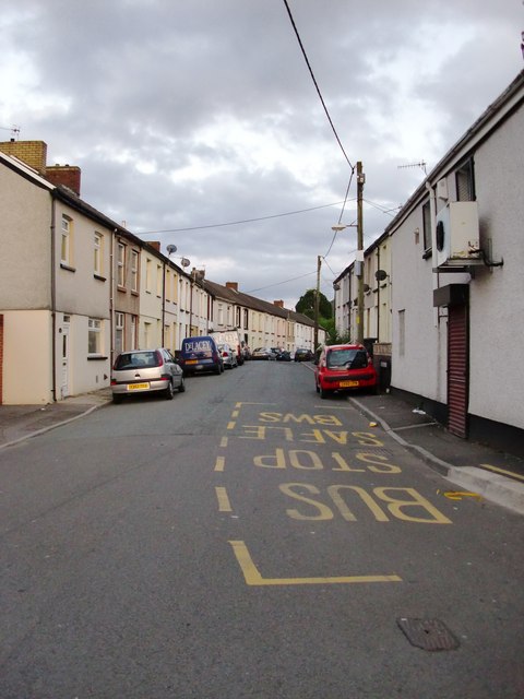
Image: © Stefan Czapski Taken: 19 Jun 2011
Looking south along the street which for parts of its length is also known as Noel Terrace and Walter's Terrace. The plan of Aberfan might be thought of as a bit like the constellation known as the Plough - with Perthygleision and Bryn Taf forming a long handle at the southern end of the village. This view gives absolutely no impression of the steepness of the hillside on which this former mining village stands, as Perthygleision runs pretty much along a contour, along the valley side. Happily, the name 'Perthygleision' has never had to give way to an English equivalent, though I remember being told - long ago - that it meant something like 'Green Hedges'.
Images are licensed for reuse under creativecommons.org/licenses/by-sa/2.0
Image Location
Latitude
51.6864
Longitude
-3.34221