Strawberry Hill station from Tower Road
Introduction
The photograph on this page of Strawberry Hill station from Tower Road by Marathon as part of the Geograph project.
The Geograph project started in 2005 with the aim of publishing, organising and preserving representative images for every square kilometre of Great Britain, Ireland and the Isle of Man.

There are currently over 7.5m images from over 14,400 individuals and you can help contribute to the project by visiting https://www.geograph.org.uk
Strawberry Hill station from Tower Road
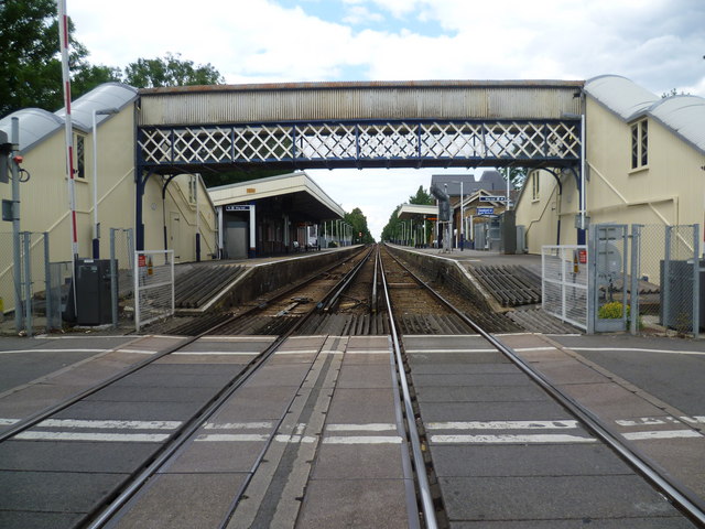
Image: © Marathon Taken: 29 Jun 2011
This view of Strawberry Hill station is from the level crossing on Tower Road. The line through Strawberry Hill (the Kingston Loop) opened in 1863, but Strawberry Hill station did not open until 1873.
Images are licensed for reuse under creativecommons.org/licenses/by-sa/2.0
Image Location
Latitude
51.439096
Longitude
-0.339354