Upper Coscombe Farm
Introduction
The photograph on this page of Upper Coscombe Farm by Michael Dibb as part of the Geograph project.
The Geograph project started in 2005 with the aim of publishing, organising and preserving representative images for every square kilometre of Great Britain, Ireland and the Isle of Man.

There are currently over 7.5m images from over 14,400 individuals and you can help contribute to the project by visiting https://www.geograph.org.uk
Upper Coscombe Farm
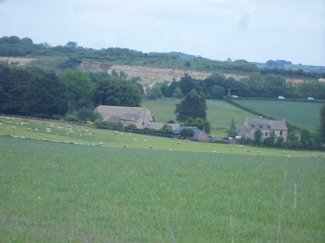
Image: © Michael Dibb Taken: 2 Jun 2011
The farm is seen, across the fields, from the Cotswold Way. Guiting Quarry is seen in the distance. The cars are on the B4077 heading towards Stow-on-the-Wold.
Images are licensed for reuse under creativecommons.org/licenses/by-sa/2.0
Image Location
Latitude
51.969504
Longitude
-1.891655