Building Plot, Lower Road, Llanteg
Introduction
The photograph on this page of Building Plot, Lower Road, Llanteg by welshbabe as part of the Geograph project.
The Geograph project started in 2005 with the aim of publishing, organising and preserving representative images for every square kilometre of Great Britain, Ireland and the Isle of Man.

There are currently over 7.5m images from over 14,400 individuals and you can help contribute to the project by visiting https://www.geograph.org.uk
Building Plot, Lower Road, Llanteg
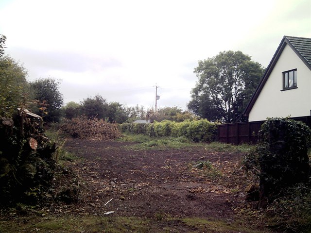
Image: © welshbabe Taken: 15 May 2011
A cleared plot ready for building. This part of the road has all been built on apart from this one small narrow plot. To the right of the entrance is still the old stone gatepost from when it was once just a field.
Images are licensed for reuse under creativecommons.org/licenses/by-sa/2.0
Image Location
Latitude
51.755477
Longitude
-4.644683