Building Plot, Lower Road, Llanteg
Introduction
The photograph on this page of Building Plot, Lower Road, Llanteg by welshbabe as part of the Geograph project.
The Geograph project started in 2005 with the aim of publishing, organising and preserving representative images for every square kilometre of Great Britain, Ireland and the Isle of Man.

There are currently over 7.5m images from over 14,400 individuals and you can help contribute to the project by visiting https://www.geograph.org.uk
Building Plot, Lower Road, Llanteg
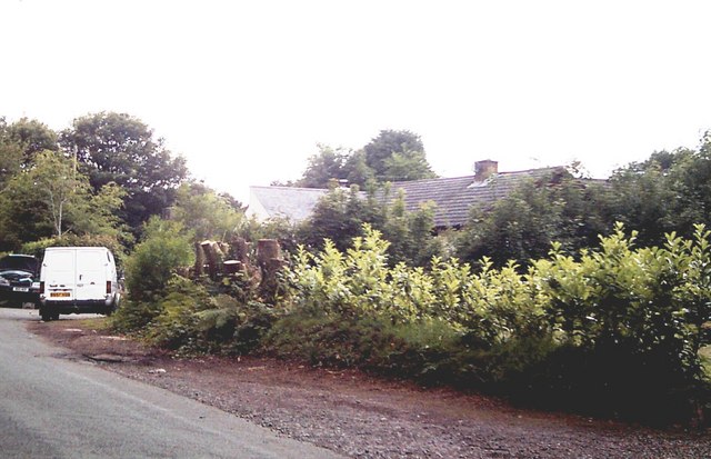
Image: © welshbabe Taken: 15 May 2011
Trees have been cut down from the hedge of this once overgrown building plot.
Images are licensed for reuse under creativecommons.org/licenses/by-sa/2.0
Image Location
Latitude
51.755567
Longitude
-4.644688