Fairfield bungalows, Penperlleni
Introduction
The photograph on this page of Fairfield bungalows, Penperlleni by Jaggery as part of the Geograph project.
The Geograph project started in 2005 with the aim of publishing, organising and preserving representative images for every square kilometre of Great Britain, Ireland and the Isle of Man.

There are currently over 7.5m images from over 14,400 individuals and you can help contribute to the project by visiting https://www.geograph.org.uk
Fairfield bungalows, Penperlleni
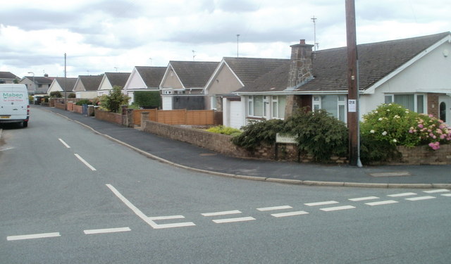
Image: © Jaggery Taken: 30 Jun 2011
Fairfield is a residential road with several arms, on the west side of the village. The sign on the right shows that this arm contains numbers 17-27. In view are numbers 17 to 23.
Images are licensed for reuse under creativecommons.org/licenses/by-sa/2.0
Image Location
Latitude
51.737812
Longitude
-2.980371