Lowick: on Drayton Road
Introduction
The photograph on this page of Lowick: on Drayton Road by John Sutton as part of the Geograph project.
The Geograph project started in 2005 with the aim of publishing, organising and preserving representative images for every square kilometre of Great Britain, Ireland and the Isle of Man.

There are currently over 7.5m images from over 14,400 individuals and you can help contribute to the project by visiting https://www.geograph.org.uk
Lowick: on Drayton Road
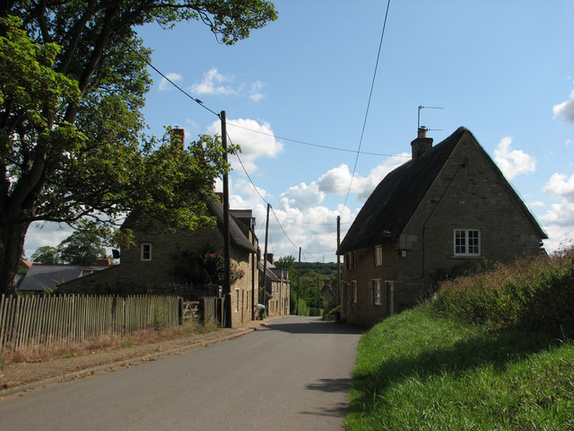
Image: © John Sutton Taken: 30 Jun 2011
The lane from the village to Drayton House follows the little valley of a tributary of Harper's Brook. Like many houses in Lowick, the two nearest are limestone with thatched roofs.
Images are licensed for reuse under creativecommons.org/licenses/by-sa/2.0
Image Location


Leaflet Map data © OpenStreetMap
Latitude
52.414416
Longitude
-0.572624