Lynebank House
Introduction
The photograph on this page of Lynebank House by Oliver Dixon as part of the Geograph project.
The Geograph project started in 2005 with the aim of publishing, organising and preserving representative images for every square kilometre of Great Britain, Ireland and the Isle of Man.

There are currently over 7.5m images from over 14,400 individuals and you can help contribute to the project by visiting https://www.geograph.org.uk
Lynebank House
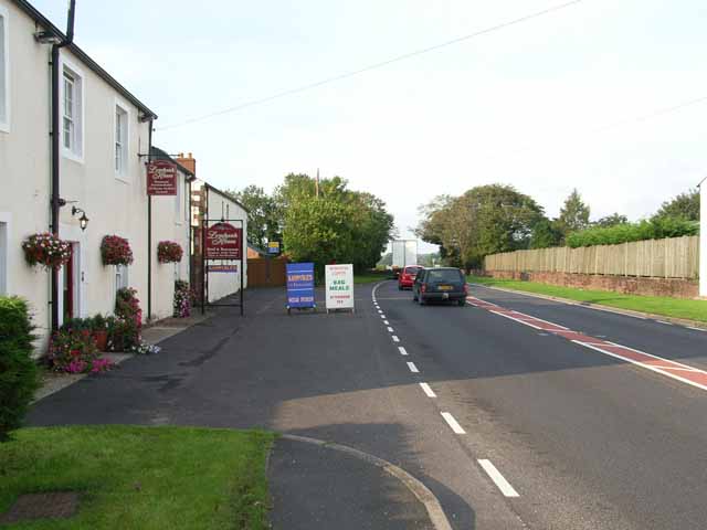
Image: © Oliver Dixon Taken: 24 Sep 2006
This guesthouse and restaurant stands beside the busy A7 just south of the bridge over the River Lyne. It was to avoid this stretch of main road that the cycle path along the old Waverley line was constructed in 2000, just 600 m to the west. Image Image
Images are licensed for reuse under creativecommons.org/licenses/by-sa/2.0
Image Location
Latitude
54.97139
Longitude
-2.95131