Withnell Fold Cricket Club - Clubhouse
Introduction
The photograph on this page of Withnell Fold Cricket Club - Clubhouse by BatAndBall as part of the Geograph project.
The Geograph project started in 2005 with the aim of publishing, organising and preserving representative images for every square kilometre of Great Britain, Ireland and the Isle of Man.

There are currently over 7.5m images from over 14,400 individuals and you can help contribute to the project by visiting https://www.geograph.org.uk
Withnell Fold Cricket Club - Clubhouse
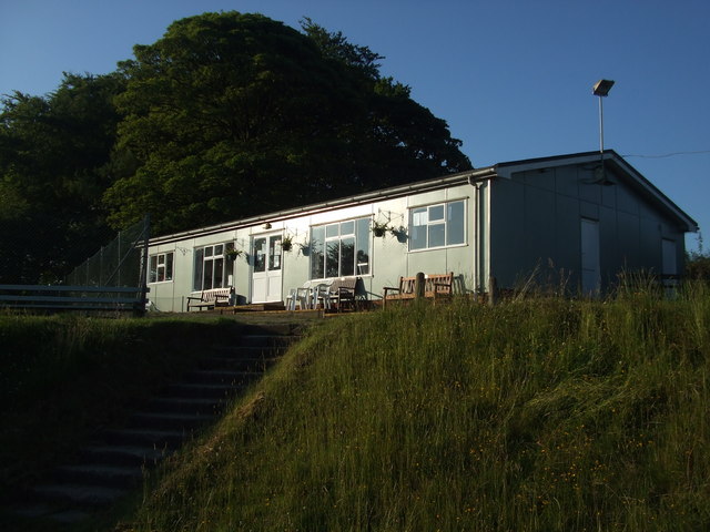
Image: © BatAndBall Taken: 29 Jun 2011
Looking up the stairs to Withnell Fold CC's pavilion which is next to the tennis courts.
Images are licensed for reuse under creativecommons.org/licenses/by-sa/2.0
Image Location
Latitude
53.700467
Longitude
-2.586444