Junction of Abingdon Road and Weirs Road
Introduction
The photograph on this page of Junction of Abingdon Road and Weirs Road by David Howard as part of the Geograph project.
The Geograph project started in 2005 with the aim of publishing, organising and preserving representative images for every square kilometre of Great Britain, Ireland and the Isle of Man.

There are currently over 7.5m images from over 14,400 individuals and you can help contribute to the project by visiting https://www.geograph.org.uk
Junction of Abingdon Road and Weirs Road
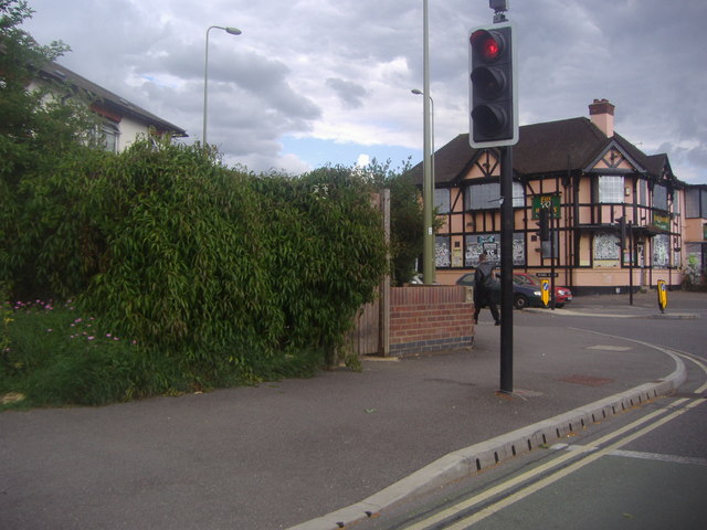
Image: © David Howard Taken: 29 Jun 2011
The derelict Fox and Hounds pub appears possibly ready for demolition.
Images are licensed for reuse under creativecommons.org/licenses/by-sa/2.0
Image Location
Latitude
51.734118
Longitude
-1.250149