River Tillingham near Rolvendene Farm
Introduction
The photograph on this page of River Tillingham near Rolvendene Farm by David Anstiss as part of the Geograph project.
The Geograph project started in 2005 with the aim of publishing, organising and preserving representative images for every square kilometre of Great Britain, Ireland and the Isle of Man.

There are currently over 7.5m images from over 14,400 individuals and you can help contribute to the project by visiting https://www.geograph.org.uk
River Tillingham near Rolvendene Farm
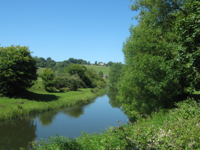
Image: © David Anstiss Taken: 26 Jun 2011
As seen from the High Weald Landscape Trail (long distance path) between Rye and Peasmarsh. Rolvendene Farm is in the background, above it on Leasam Hill, is Leasam Farm.
Images are licensed for reuse under creativecommons.org/licenses/by-sa/2.0
Image Location
Latitude
50.953764
Longitude
0.727573