Skiddaw View, Western Bank
Introduction
The photograph on this page of Skiddaw View, Western Bank by Rose and Trev Clough as part of the Geograph project.
The Geograph project started in 2005 with the aim of publishing, organising and preserving representative images for every square kilometre of Great Britain, Ireland and the Isle of Man.

There are currently over 7.5m images from over 14,400 individuals and you can help contribute to the project by visiting https://www.geograph.org.uk
Skiddaw View, Western Bank
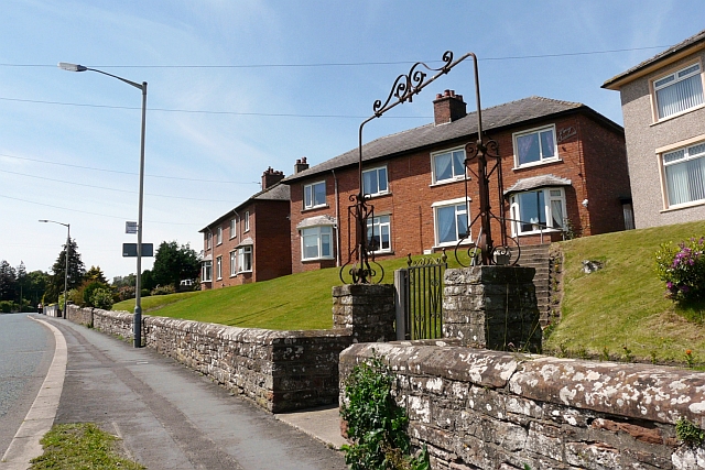
Image: © Rose and Trev Clough Taken: 14 Jun 2011
'Homes fit for heroes' - a row of 12 houses built by Wigton Urban District Council, shortly after the end of the First World War (information from 'Wigton Through Time' by T.Grahamslaw http://www.amberleybooks.com/shop/article_9781848688063/Wigton-Through-Time%3CBR%3E%3CI%3ETrevor-Grahamslaw%3C_I%3E.html?shop_param=cid%3D16%26aid%3D9781848688063%26 ).
Images are licensed for reuse under creativecommons.org/licenses/by-sa/2.0
Image Location
Latitude
54.82272
Longitude
-3.17054